LAND SURVEYING
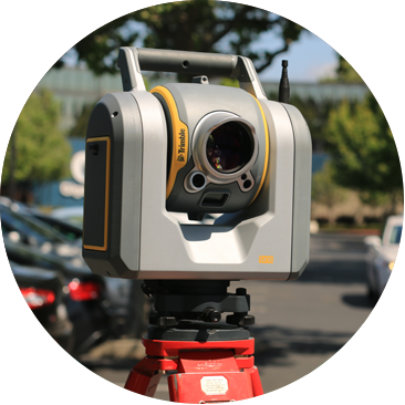
OJD professionals have the expertise to achieve highly accurate results while maintaining quality control over data collected, from field to office, and precision of the final client deliverables. Our capabilities include the use of hi-definition laser scanners which enable our surveyors to collect data from a multitude of subjects including complex facilities, buildings and assets, bridges, structures, and roadways all of which depend upon our specialized measurement equipment and experienced operators.
Our attention to details makes the difference and ensures our clients they are receiving the most accurate surveying and measurement services.
OJD ENGINEERING LAND SURVEYING SERVICES
- GPS Surveying
- ALTA/NSPS Land Title Surveys
- Topographic & Boundary Surveys
- Construction Stake-Outs
- Site Remediation Surveys
- Highway Route Surveys
- GIS Mapping
- Environmental
- State Compliant Tax Map Services
- As-Built Surveys
- 3D Hi-Definition Laser Scanning
- Hydrographic, Riparian & Wetlands Surveys
- Flood Elevation Surveys
- Pipeline & Utility ROW Surveying
- Deformation Monitoring Surveys
- Aerial Photo Control Surveys For Mapping
- Subsurface Utility Location & Ground Penetrating Radar

